Welcome to Obergraz
Our Region
Attractions
Nature & Recreation
Fun & leisure
OberGraz KombiCard
With the OberGraz KombiCard you can visit the 4 highlights of OberGraz and save up to 25% on admission.
For a stay of 3+ nights you can get the KombiCard at our Bed and Breakfast at a reduced rate!


Our Region
To learn more about the individual highlights in our area, simply click on the sight.
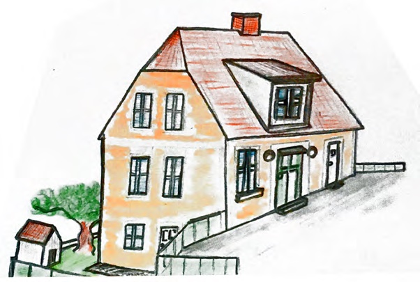
Whether you want to enjoy an extended stay with a varied program or simply want to spend the night at an owner-operated Bed and Breakfast that has both character and a homey atmosphere – you have come to the right place!
We look forward to your stay
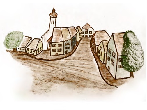
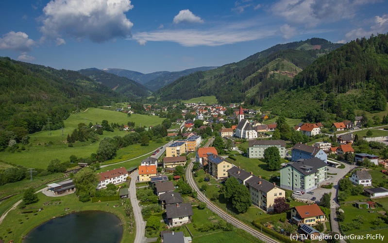
Markt Übelbach
Only 20km northwest of the Styrian capital Graz, surrounded by mountains, meadows and green forests, lies the idyllic Übelbach valley. From home-made farmer’s bread to home-brewed “mountain” beer, from rustic lederhosen to open-air bowling alleys with clay pins – all of that can still be experienced firsthand in Übelbach.
Our Bed and Breakfast is located at the edge of the town center.
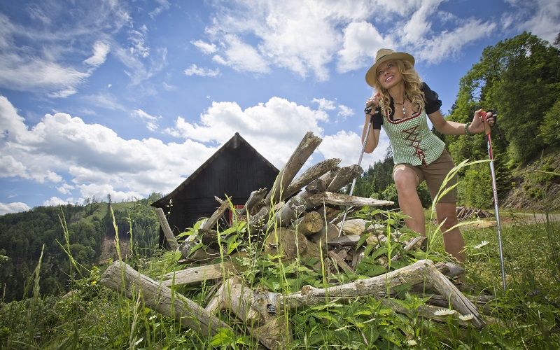
hiking region Gleinalm
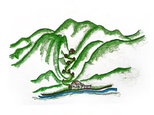
The hiking region Gleinalm is among the foothills of the Eastern Alps and is, with its gentle ridges, one of the most beautiful hiking areas in Styria. There are various ways of reaching this area from OberGraz. The Gleinalm is actually a pure hiking alp. The mountain refuge can be reached in a three-hour from Krautwasch. At certain dates and times, however, it is permitted to travel there conveniently by car via Neuhof near Übelbach.
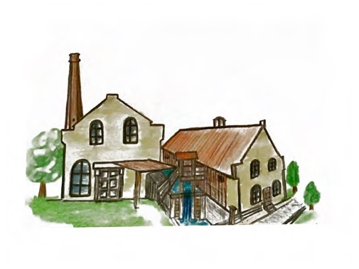
Sensenwerk Museum
Reaping no longer but, instead, a lively encounter with eternal tradition at the Sensenwerk in Deutschfeistritz. The huge forge which, in its hay day, exported over 60,000 scythes all over the world, is now a museum. The interior space, housing the impressive production facilities including six gigantic water wheels, offers an atmospheric and very popular setting for all kinds of events, ranging from theatrical performances and concerts to art exhibitions
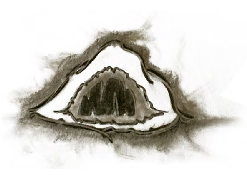
Lurgrotte Peggau
Stalactite from the ceiling, stalagmite on the ground. This mnemonic can help you to identify the wonderful stone formations at the Lurgrotte, Austria’s largest dripstone cave. Here calcium mineral deposition over millions of years has yielded enchanting natural artworks both fragile and massive, with fantastic names meaning prince, giant and grand candle stick. You can explore this fascinating cavern complex accompanied by an expert guide, starting from either Peggau or Semriach.
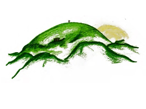
Maria Straßengel
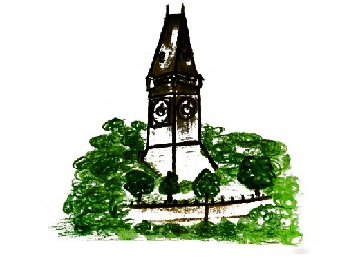
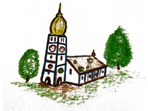
Like a fairytale – the impression when you spot the Maria Strassengel pilgrimage church a few kilometres north of Graz. Perched on a hill, the small settlement round the church is visible from afar. Presbytery, taverna, the decorously baroque ‘new building’ and the enchanting pilgrimage church make up the attractive ensemble. With its slender sandstone spire, rich architectural sculpture and original 14th century stained glass, it’s one of Austria’s most important High Gothic sacral buildings.
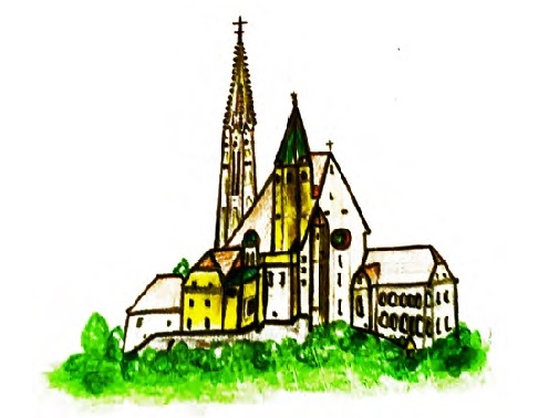
unique city of Graz
No other city offers so much variety within such a small area, together with its sunny southern ambience as a bonus: futuristic architecture right next to medieval houses set in a maze of ancient alleyways and squares.
If you thought you’d already seen everything, then think again: just take a look around the unique city of Graz and you will be amazed! Discover its wealth of sights, possibilities of getting to know the city with guided tours or by enjoying events. Even if you are in Graz only for a side trip, a day trip, city break or weekend trip- we have got loads of useful tips for a felicitous stay!
Open Air Museum
Written on the village school blackboard are the German words for “Anna eats an apple”, but today’s kids can no longer read that writing style. It’s an all but lost world of rural life and work, living on in around a hundred original farm buildings in a remote tributary valley by the river Mur. At the Austrian Open Air Museum Stübing you can stroll across the whole of Austria and, in an idyllic setting, find out about regionally typical tools and the ways of construction and life of yesteryear.
Bärenschütz-klamm
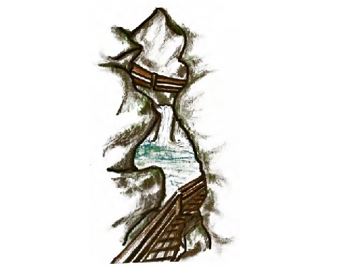
The Bärenschützklamm is one of Austria’s most beautiful water-bearing gorges. Hiking between the untamed waterfalls and craggy cliffs is an impressive experience for any hiker. The unutterable power of nature, with constant dripping that wears away the stone, becomes apparent here. A natural monument since 1978. The first section of ladders was built in 1901 and has been restored several times since.
Lipizzaner stud Piber
Lipizzaners are Europe’s oldest cultural horse breed, with their origin going back to the year 1580. The Lipizzaner stud Piber combines knowledge that has been accumulated over 400 years with a feeling for Lipizzaners to breed horses with the abilities that make them world-famous, especially through the Spanish Riding School.
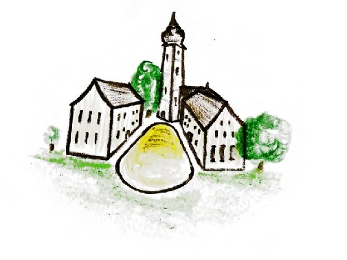
St. Barbara Church
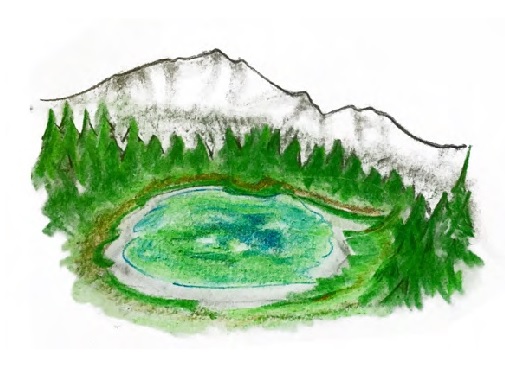
Tragöss Green Lake
The Green Lake is well-known, and for good reason, because it is one of the pure meltwater lakes that is filled by the surrounding local mountains and foothills of the Hochschwab. Many nature lovers hike to the crystal-clear lake in the summer.
Wine Road South Styria
The South Styrian Wine Road unites these three aspects of life. The region’s customs and traditions are lively and impress visitors. Typical features such as the owner-run Buschenschank wine taverns, the Klapotetz (noisy windmills designed to keep birds off crops), the Sturm & Kastanien (Sturm wine and Chestnut) festivals in autumn, Styrian pumpkin seed oil, the unique landscape and the friendly locals make the region very special!
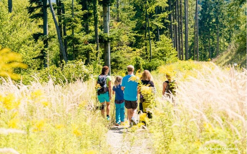
HIKING TOURS IN OUR REGION
SCHARTNERKOGEL CIRCUIT (Deutschfeistritz)
Start
Car park at the leisure centre (Freizeitzentrum) in Deutschfeistritz
Latitude: 47.19898
Longitude: 15.331734
End point
Car park at the leisure centre (Freizeitzentrum) in Deutschfeistritz
Location plan
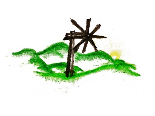
From the car park at the ProTennis Austria leisure centre (indoor tennis courts), walk about 200 m back to Schiessstattgasse, then turn right along the Grazer Umland-Weg (GUW) 535 hiking trail in the direction of the Licht-Klause, a spiritual, light-infused retreat. 100 m before the Schartner hunting lodge you’ll spot the sessile oak tree. It’s over 300 years old and protected. Folllow the fence to the left of the hunting lodge up to the summit cross of the Schartnerkogel (931 m), where a wonderful view across Deutschfeistritz and Peggau awaits you. March downhill in the direction of Hagensattel till you reach a junction, where you have a choice of routes:
a) Downhill along the Königgraben on the GUWb and 19B trails, past the Bernthaler inn and, along the municipal road and the L322 in a northerly direction, back to your starting point.
b) Descent on trail no. 19 along the Feistergraben (northbound).
c) The longest route is the descent over the Hagensattel saddle and the Gamskogel (859 m). From the Hagensattel, follow path 19a past the bear cave (not far from the Gamskogel, your second summit today!). After having immortalized yourself in the book at the summit cross, hike downhill in the direction of Stübing to the Bernthaler inn in Königgraben. Follow the municipal road and L322 north to get back to your starting point after about 1.5 km. If you are on your last legs, you can get back to the centre of Deutschfeistritz with a GUSTmobil minibus!
ONE-DAY HIKE FROM ÜBELBACH TO ZITOLL
Start
“Alter Markt” (center of Übelbach)
Latitude: 47.225833
Longitude: 15.234463
End point
Zitoll near Deutschfeistritz
Location plan
Starting at the old market in Übelbach, walk up Kalvarienbergstrasse, turn off to the left and walk through the forest up towards the Listkogel mountain. The sign-posted trail no. 534 is crossed a few times by the forest road. At the top, go past the shrine and the former Hubertushof inn, bearing left after the garages, and continue westwards towards the Plotscherbauer hut. From there, continue on trail no. 11 to the Gmoa-Alm pasture and then on trail no. 532 to the Ebenwirt inn on Schenkenberg mountain. Continue on trail no. 533 over the Haneggkogel and Reising mountains to the Sieglkreuz cross and the Poidlwirt inn. The Zitoll S-Bahn (S11) stop is about 1.5 hours of walking from here.
SILBER CIRCUIT IN ÜBELBACH
Start
Übelbach railway station
Latitude: 47.22496
Longitude: 15.237273
End point
Übelbach railway station
Location plan
Our starting point is at the S-Bahn (S11) railway station in Übelbach. From there, the trail is marked throughout with silver-grey arrows. Go north to the old market and up the Kalvarienbergstrasse. Turn left just before the end of the road onto the hiking trail. After a short climb, turn left again, following the arrows, past the “Sängerplatzl” over the small bridge and into the Schörgleitengraben.
Going down, the trail leads you under the L385, over the bridge that crosses the Übelbach stream, and into the Sperbergraben. Go briefly uphill, turn left and pass under the motorway bridge. Follow the gravel road to the Vinzenz promenade turnoff and continue through the forest to the Niesengraben.
After crossing the municipal road, follow the trail along the slope to the motorway bridge and enjoy the magnificent view over the whole valley. Continue to the small Warthkogel housing estate. At the end of the estate turn left onto the little road, then left again and over the motorway bridge. Now the trail goes uphill a bit before you bear left and walk along the edge of the forest in the direction of Köppelgraben. Then simply go on to the old market, where you’ll find several places to eat as well as the train station, the starting point of the tour.
ADVENTURE HIKE THROUGH THE BADL GORGE
Start
Public car park in Badl–Peggau
Latitude: 47.228337
Longitude: 15.341815
End point
Follow either the federal road south and towards Peggau town centre, or go back to the starting point.
Location plan
A few metres from the starting point at the public car park and the GUSTmobil minivan stop 1213 the route leads southwards and up at the left. Continue upwards alongside the stream bed on trail no. 750. After going past a large rock, keep on for another ten minutes or so until you come to an obsolete forest road at the right on the fork (trail no. 13). Always keeping to the right, return in the direction of Peggau. Forces of nature have created a quaint point of crossing here. Follow climb tracks to the forest road above the Badl gorge and march down to the valley.
After passing the raised hide in the former estate of Binderanderl, a rutted, grooved and abandoned driving track lined with stone walls leads down to the Mautbühel hill. Shortly afterwards you get to the state road, which you follow north until you reach the starting point.
SHORT CIRCULAR HIKE AROUND PEGGAU
A grotto, a spring, a waterfall … Peggau is unique when it comes to natural beauty.
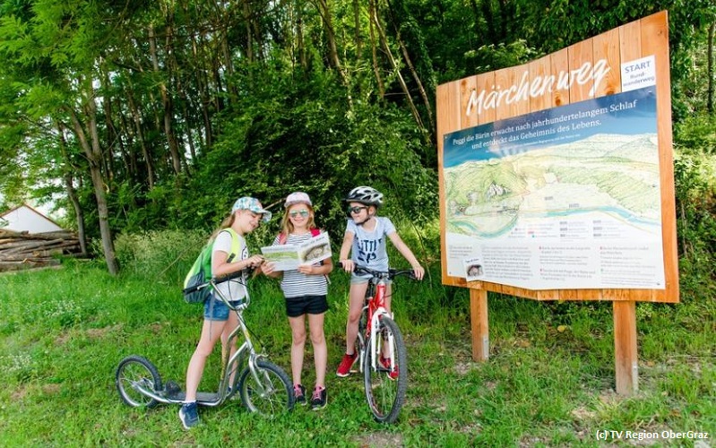
The highlights of this short circular hike can be enjoyed in any season. The Peggau Märchenweg (fairy tale path), which runs along the same route, is an exciting attraction for children.
Start
Peggau railway station
Latitude: 47.206984
Longitude: 15.34407
End point
Peggau railway station
Location plan
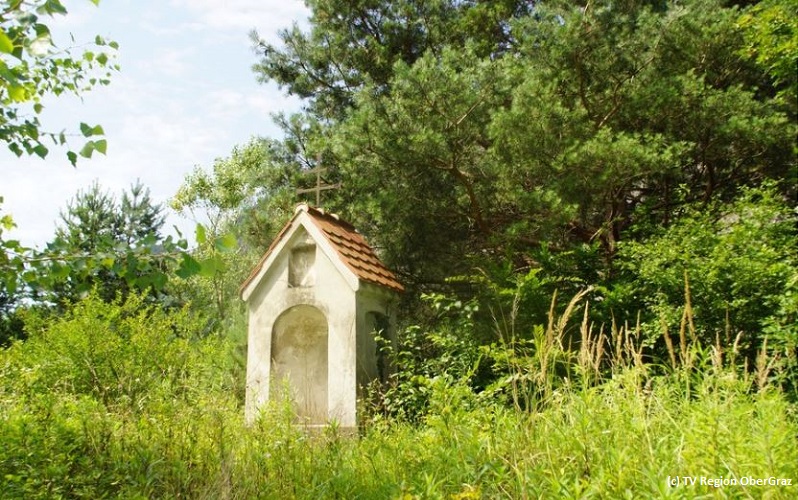
Starting at Peggau–Deutschfeistritz railway station, walk in the direction of the Peggauer Wand rock face, turn right into Alte Landstrasse and continue in a southerly direction to the foot of the ruins of Peggau Castle. The route is well signposted. Below the castle hill, experience the impressive natural spectacle of the Mitterbach waterfall, a landmark of natural beauty that radiates peace. Along the way you’ll also pass the Marienbründl spring, whose water has been attributed healing powers since time immemorial and which also has a splendid wayside tabernacle shrine. Peggau Castle, now a ruin and in private hands, is one of the oldest fortified castles in Styria.
FROM ÜBELBACH TO TASCHLERKREUZ
Start
St Michael’s Church on Alter Markt, Übelbach
Latitude: 47.226062
Longitude: 15.234432
End point
St Michael’s Church on Alter Markt, Übelbach
Location plan
From St Michael’s Church, go southwards along Hammerherrnstrasse and ascend on Silberbergstrasse. Follow trail no. 33 along the Niesenbachgraben. After the bridge, turn right onto the forest road and leave it again after about 800 m. Follow the hiking trail, which crosses several forest roads, to the Taschlerkreuz cross (1.066 m), the highest point of your hike. Before the cross, turn left into the forest towards the east, first on a path, then on a farm track to the reopened Hiedner inn (open Saturdays and Sundays from 9 o’clock). Fully refreshed, set off again behind the wayside shrine at the Hiedner inn. Follow trail no. 17, which will lead you past two farms to the paved municipal road. Branch off onto a path on the right after about 300 m (shortly before the transmitter). Go under the motorway bridge and turn after 100 m to your right. Bearing left, the path leads you over the Übelbach stream on a covered bridge and then to the left to your starting point. You’ll find many beautiful spots to picnic, should you go on this hike outside the Hiedner inn’s opening hours.